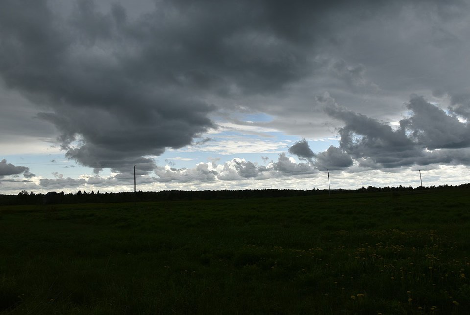
YORKTON - Update: At 7:22 p.m., Environment Canada meteorologists are tracking a severe thunderstorm capable of producing very strong wind gusts, nickel to ping pong ball size hail and heavy rain.
This thunderstorm is on Highway 123, 49 km southwest of Cumberland House, moving northeast at 70 km/h.
Update: The tornado alert has been cancelled.
Update: At 5:51 p.m. Central Standard Time Monday, Environment Canada has issued a tornado warning for East Central Saskatchewan. Extra care and attention should be exercised in and around the following localities: Kamsack, Duck Mountain Park, Arran, Pelly, Norquay, The Key Reserve and Stenen. Environment Canada meteorologists are tracking a severe thunderstorm that is possibly producing a tornado. Damaging winds, large hail and locally intense rainfall are also possible.
Update: At 5:13 p.m. CST, Environment Canada meteorologists are tracking a severe thunderstorm that is possibly producing a tornado, according to SaskAlert. Damaging winds, large hail and locally intense rainfall are also possible.
The severe thunderstorm is located 10 km southwest of Springside and is moving to the northeast at 60 km/h.
This is a dangerous and potentially life-threatening situation.
Affected area:
- R.M. of Orkney including Yorkton Springside and Ebenezer
Instructions
- Take cover immediately, if threatening weather approaches.
- If you hear a roaring sound or see a funnel cloud, swirling debris near the ground, flying debris, or any threatening weather approaching, take shelter immediately.
- Go indoors to a room on the lowest floor, away from outside walls and windows, such as a basement, bathroom, stairwell or interior closet.
- Leave mobile homes, vehicles, tents, trailers and other temporary or free-standing shelter, and move to a strong building if you can.
- As a last resort, lie in a low spot and protect your head from flying debris.
Original post: According to SaskAlert, as of 3:28 p.m., Environment Canada meteorologists are tracking a severe thunderstorm capable of producing very strong wind gusts, nickel to ping pong ball size hail and heavy rain.
This severe thunderstorm was located near Last Mountain 3:28 p.m and was moving to the northeast at 65 km/h.
Damage to roofs, fences, soft shelters or trees is likely. Heavy rain may cause flash flooding and significant reductions to visibility. Fast-moving and rapidly rising water can sweep vehicles away and damage infrastructure. Large hail may cause significant damage and injury.
Severe thunderstorms can produce tornadoes.


